-
Title
-
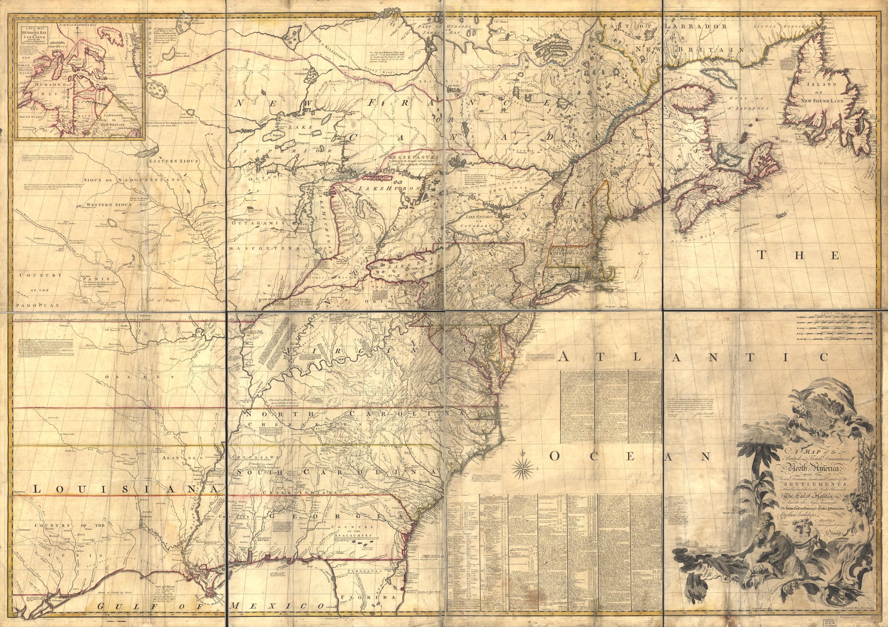
A Map of the British and French dominions in North America
-
Date
-
1755
-
Publisher
-
Library of Congress
-
Subject
-
Maps, Toledo War
-
Type
-
Image
-
Description
-
This map, created in 1755 by John Mitchell, was widely used as the basis for drawing new state boundaries until the first half of the 19th century. It was also the basis for the boundary dispute between Ohio and Michigan because the locations of Toledo and the mouth of the Maumee River were inaccurate.
-
Format
-
JPG
-
Box/ Folder Information
-
copied from Library of Congress Online Catalog
-
Rights
-
public domain
-
Creator
-
John Mitchell
-
Language
-
English